|
||
|
| Physical
Address
(no physical address |
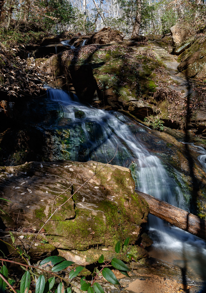
Photo Suggestions
|
|
Once you reach the first set up stairs, you will see
a bench off to your left. Consider photographing the upper
part of the falls from this area. |
|
|
Walk down the second set of stairs and photograph
the entire waterfall |
|
|
Photograph the falls from different angles and locations once at the bottom. |
Driving Tips and Other Information
|
|
Directions: Located just minutes
from Clemson, head North on SC Highway 133 towards Daniel High
School. At the traffic signal, turn right onto Madden Bridge Road.
Go one-third of a mile, then turn left onto Waldrop Stone Road. The
trail head begins right after you turn onto 'Waldrop Stone Road.
The trail head will be marked on the right by a sign and a cabled
off logging road. Parking is allowed on the grass shoulder of the
roadway |
|
|
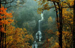
Waldrop Stone Falls is located in the North Forest,
approximately 50 feet in height. An fairly easy, 3/4 mile hike
through Clemson’s Experimental Forest will take you to one of the
largest waterfalls in the southern portion of Pickens County. |
|
|
The trail to the falls is well marked.
Following the logging road until you come a sign directing you to
the falls. |
|
|
The trail is very narrow, walking
sticks are recommend |
|
|
No bathroom facilities available |
Information compiled by Bob Spalding